

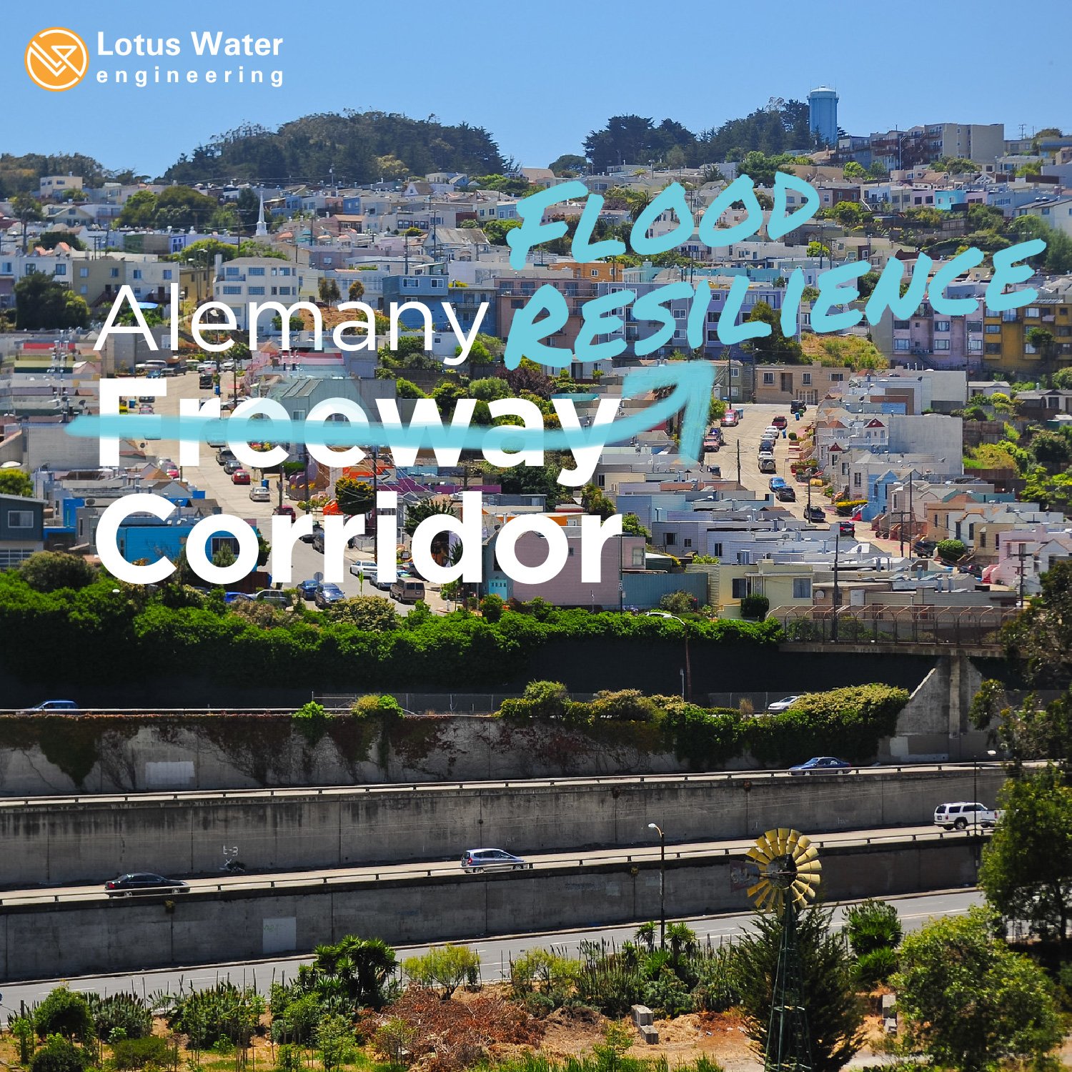
Prior to development and building of the I-280 freeway, Islais Creek flowed along what is now Alemany Boulevard, making its way through San Francisco from the city’s southern boundary out to the Bay. The Cayuga and Lower Alemany areas of San Francisco sit along this low-lying historic creek path and represent two of the most challenging flood problem areas within the City. After years of engineering analysis, the San Francisco Public Utilities Commission (SFPUC) proposed a 10-foot diameter tunnel to address the flooding in these areas. However, seeing that larger storms could still result in flooding and that the benefits of the tunnel project were limited to a smaller subset of San Francisco residents, the SFPUC also asked that a watershed-wide alternative be investigated, one that could provide comparable flood resilience as the tunnel while spreading more environmental and community benefits to a wider spectrum of residents. This request led to the Upper Islais Creek Watershed Flood Resiliency Project and development of the Upper Islais Creek Watershed Plan (the Plan).
To create the Plan, Lotus and the project team developed new methods of analyzing and quantifying long-term flood resilience and community benefits. The team conducted 2-D hydraulic and hydrologic (H&H) modeling analyses over a wide range of storms to create new multi-storm metrics and visual outputs that displayed how flood depth, risk, and damage varied based on different proposed improvements. The team also integrated new environmental and social benefit metrics and visual outputs into the analysis, such as increased biodiversity, reduced heat stress, and increased access to green space

The expected annualized flood depth (EAFD) shows the flood depth calculated by spreading out multiple storm probabilities and magnitudes equally over time (a discrete time period is not selected). Annualized depth does not mean the depth shown on the map would be seen every year (because this a longer term averaging of flood depths). While EAFD does not directly translate into an immediately usable statistic, it provides for comparison across projects visually showing which areas are expected to see the deepest flooding most frequently. This can be recategorized into a “risk score” to provide more value. (Lotus + Pathways Climate Institute)
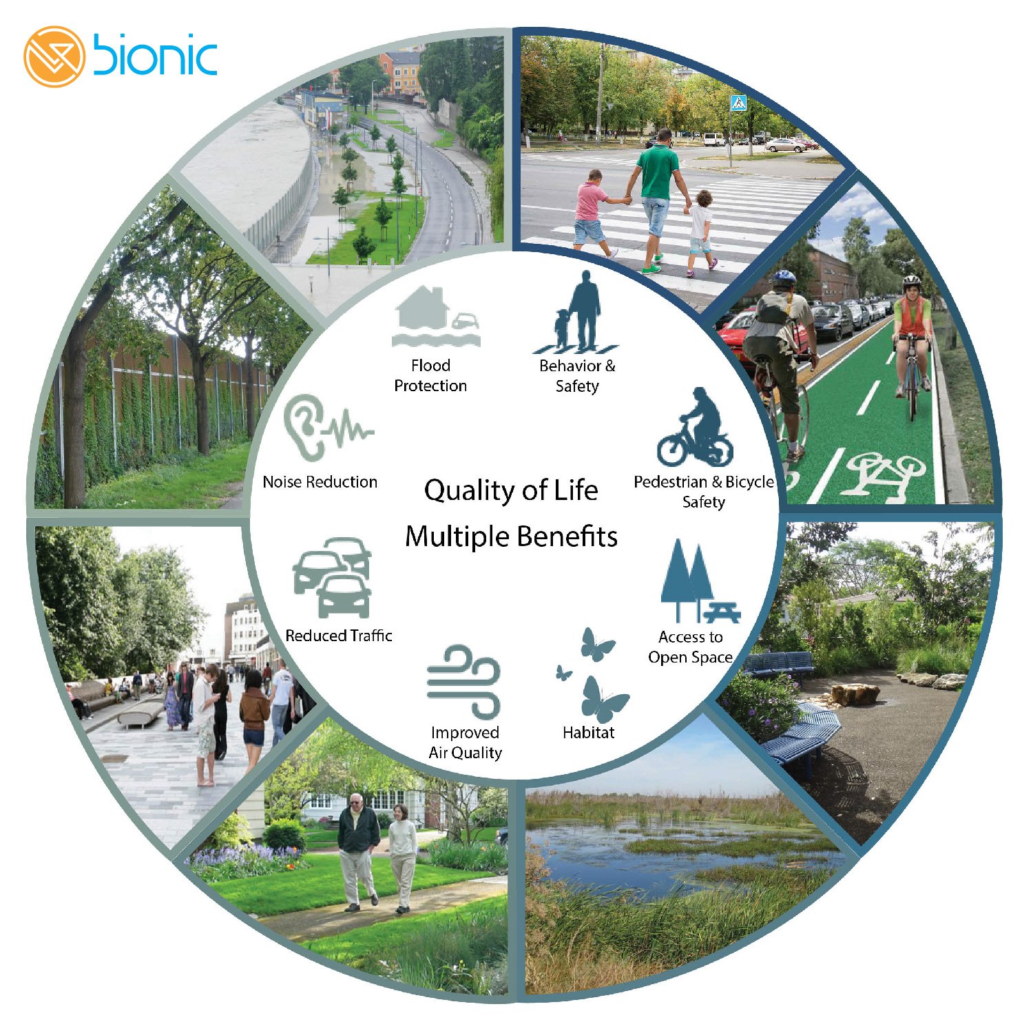
Using the new approaches, the team developed the Plan—which includes 100 acres of drainage management area (DMA) for green infrastructure to be constructed over 15 years and 7 million gallons (MG) of storage to be constructed over 8 years—that together will soak up stormwater and slow down the combined sewer flows to attenuate peak flows during flooding events. It also includes multi-purpose floodable open space as part of a protect corridor that keeps flooding from even the most extreme storm events away from people and property, providing improved long-term resilience that factors in the impacts of climate change. The protect corridor also reconfigures the streetscape to improve bike and pedestrian safety, reduce noise and air quality impacts, and increase neighborhood connectivity. The Plan reimagines the surface of the city into multi-function roadways and spaces configured to safely manage larger storms while also providing additional community benefits.


Working closely with the city and a multi-disciplinary team, Lotus was instrumental in analyzing the green infrastructure and storage locations to optimize flood reduction, while also finding synergies with other city agency projects planned in this location, to maximize multi-benefits and leverage combined funding opportunities. As the impact of climate change on infrastructure systems and our communities is felt more and more frequently, a new way of planning, designing, and funding projects for future conditions is needed. Lotus is excited to continue our collaboration with the SFPUC to be leaders in this field.