About
Company
Team
Opportunities
News + Events
Race | Equity | Diversity | Inclusion
Services
Flood Resilience + Climate Adaptation
Stormwater Policy + Program Development
Integrated Capital Planning
Water Reuse
Green Infrastructure
Civil Engineering Design
Projects
Featured Projects
Site Scale
Neighborhood Scale
City Scale
Contact

Lotus Water

About
Company
Team
Opportunities
News + Events
Race | Equity | Diversity | Inclusion
Services
Flood Resilience + Climate Adaptation
Stormwater Policy + Program Development
Integrated Capital Planning
Water Reuse
Green Infrastructure
Civil Engineering Design
Projects
Featured Projects
Site Scale
Neighborhood Scale
City Scale
Contact
598 Brannan Street

598 Brannan Street

AB 691 Sea Level Rise Vulnerability Assessment

AB 691 Sea Level Rise Vulnerability Assessment

image credit: Brittany Hosea Small

Baker Beach Green Streets

Baker Beach Green Streets

The Baker Beach project implements bioretention, infiltration galleries, and permeable pavement along a half mile of El Camino del Mar, Sea Cliff Avenue, and 25th Avenue North in the Sea Cliff neighborhood. The El Camino Del Mar project area consists of multi-functional green infrastructure nodes at three existing golf course path crossings and adds a new crossing and node in front of the Lands End Trailhead.

READ MORE >> >> >>

Bay Area Disadvantaged Community + Tribal Involvement Program

Bay Area Disadvantaged Community + Tribal Involvement Program

Berkeley Hills Water Reuse

Berkeley Hills Water Reuse

Botanical Garden - Horticultural Expo 2019

Botanical Garden - Horticultural Expo 2019

California College of the Arts

California College of the Arts

Caltrans BMP Pilot Projects

Caltrans BMP Pilot Projects

Cambie Corridor Integrated Water Management Plan

Cambie Corridor Integrated Water Management Plan

image credit: herrera

Civic Center Sustainability District

Civic Center Sustainability District

Collection System Plan

Collection System Plan

Colma Creek Restoration + Adaptation Plan

Colma Creek Restoration + Adaptation Plan

Green Infrastructure Plan

Green Infrastructure Plan

SFPUC GI Early Implementation Projects

SFPUC GI Early Implementation Projects

Everett Green Shoolyard

Everett Green Shoolyard

EPA Smart Growth Study

EPA Smart Growth Study

Federal Building Plaza Renovation

Federal Building Plaza Renovation

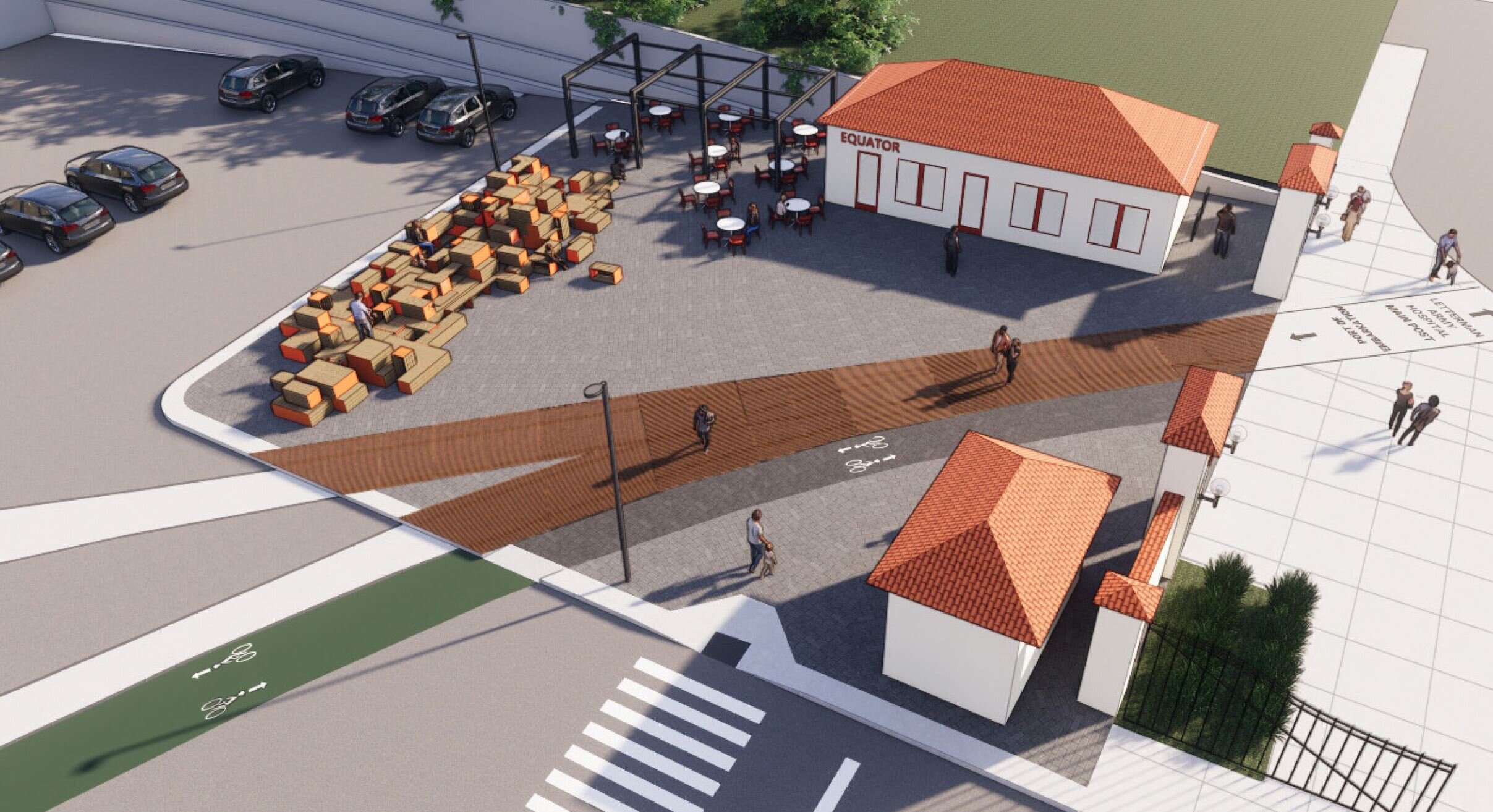
Fort Mason Entry Plaza

Fort Mason Entry Plaza

GI Contractor Training

GI Contractor Training

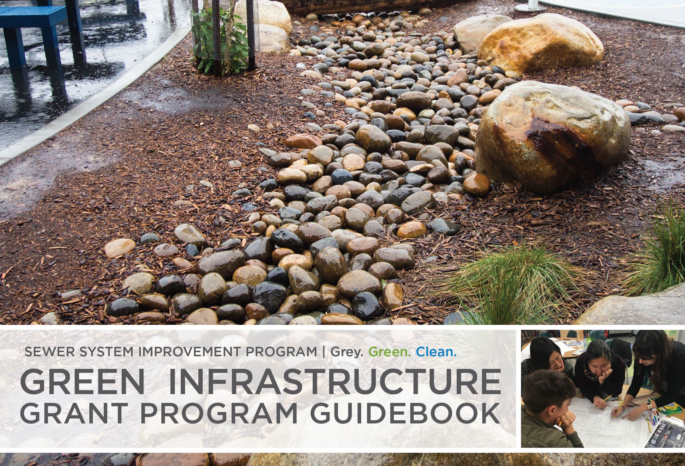
Green Infrastructure Grant Program

Green Infrastructure Grant Program

image credit: SFPUC

GSI City Details + Specifications

GSI City Details + Specifications

Holloway Green Street

Holloway Green Street

The Holloway project implements bioretention and permeable pavement along eight blocks of Holloway Avenue in the disadvantaged neighborhood of Ingleside. The project converts an urban residential street and bike route into a green, pedestrian and bike-friendly corridor by incorporating multifunctional green infrastructure.

READ MORE >> >> >>

Hunters Point Northside Park

Hunters Point Northside Park

King County Integrated Planning

King County Integrated Planning

image credit: fresnatic

LA County Fee-in-Lieu Alternative Compliance

LA County Fee-in-Lieu Alternative Compliance

The Loom

The Loom

LID Capital Projects Basin Analysis

LID Capital Projects Basin Analysis

McLaren Park Playground

McLaren Park Playground

Mission Bay Bayfront Park P-22

Mission Bay Bayfront Park P-22

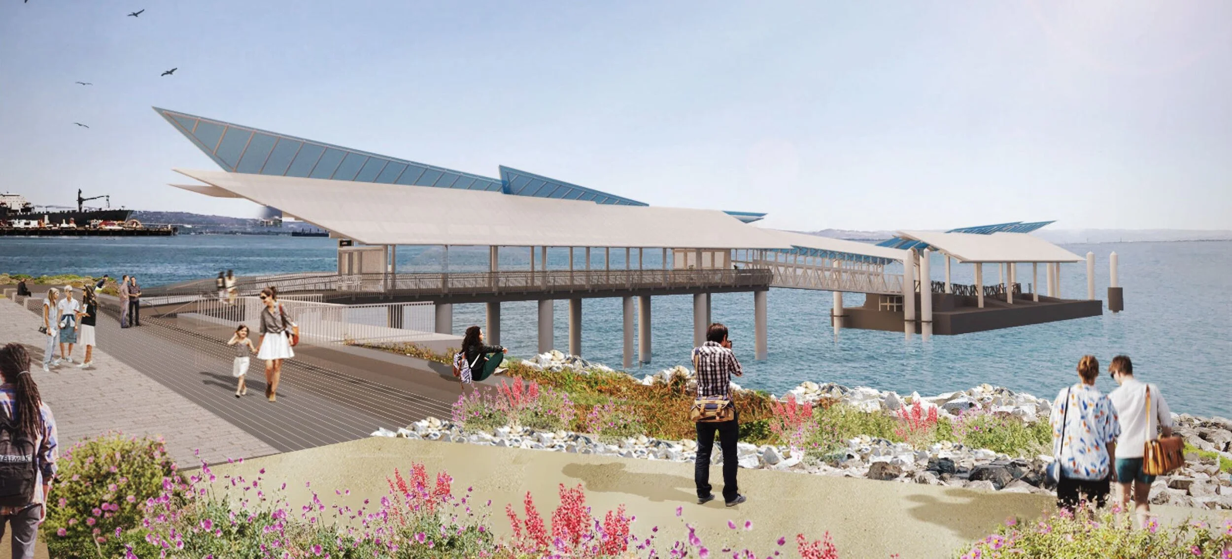
Mission Bay Ferry Landing

Mission Bay Ferry Landing

NPDES Alternative Compliance Study

NPDES Alternative Compliance Study

Orange Memorial Park Water Capture

Orange Memorial Park Water Capture

 Pier 70 + Mission Rock Special Use Districts Technical Support Services

Pier 70 + Mission Rock Special Use Districts Technical Support Services

Port of LA – Town Square + Promenade

Port of LA – Town Square + Promenade

Resilient By Design: Colma Creek + Baylands

Resilient By Design: Colma Creek + Baylands

SPU RainCity Partnerships Program

SPU RainCity Partnerships Program

Rainwater Harvesting + Graywater

Rainwater Harvesting + Graywater

Rainwater Infrastructure Building Typologies Pathways Study

Rainwater Infrastructure Building Typologies Pathways Study

San Bruno Green Infrastructure Plan

San Bruno Green Infrastructure Plan

San Jose Green Infrastructure Plan

San Jose Green Infrastructure Plan

SF Non-Potable Reuse Program

SF Non-Potable Reuse Program

South City Storm Drain Master Plan Update

South City Storm Drain Master Plan Update

SPU Shape Our Water Plan

SPU Shape Our Water Plan

SFO Shoreline Protection Program

SFO Shoreline Protection Program

Sustainable Streets Master Plan

Sustainable Streets Master Plan

SFPUC Green Infrastructure Monitoring Program

SFPUC Green Infrastructure Monitoring Program

SFPUC Stormwater Alternative Compliance Program Development

SFPUC Stormwater Alternative Compliance Program Development

Stormwater Design Guidelines

Stormwater Design Guidelines

Urban Watershed Assessments

Urban Watershed Assessments

san francisco combined sewer system + watersheds

Stormwater Resource Plans

Stormwater Resource Plans

Visitacion Valley Green Nodes

Visitacion Valley Green Nodes

The Visitacion Valley Green Nodes, completed in 2019, implement green stormwater infrastructure at two community designations within the disadvantaged neighborhood of Visitacion Valley. The Leland Avenue Rain Garden site, at the edge of McLaren Park, creates a large 3,000 square foot terraced rain garden facility that manages stormwater from the adjacent Visitacion Avenue.

READ MORE >> >> >>

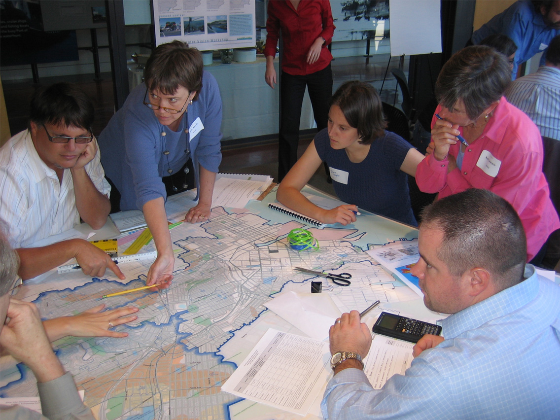
Watershed Planning Charrettes

Watershed Planning Charrettes

Sunset Boulevard Greenway

Sunset Boulevard Greenway

Completed in 2021, the Sunset Boulevard Greenway project includes 30 rain gardens over 12 blocks designed to reflect the natural topography and soil conditions of Sunset Boulevard, which are incredibly supportive of stormwater infiltration, and will improve stormwater management for 19 acres of paved surfaces in the Sunset District. Comprised of native and drought-tolerant plants chosen for their resilience during both wet and dry conditions, the rain gardens are projected to manage 5.3 million gallons of stormwater annually.

READ MORE >> >> >>

Yosemite Creek Daylighting

Yosemite Creek Daylighting

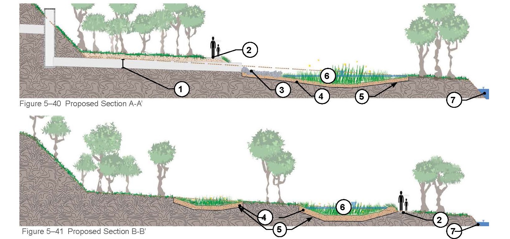
The Yosemite Creek Daylighting project, currently in the design phase, is located in McLaren Park and along the southern side of SFPUC’s University Mound South Basin. It’s the first phase of a long-term plan to resurrect the complete length of historical Yosemite Creek connecting the original headwaters all the way to the Bay.

READ MORE >> >> >>

SFPUC Regional Watersheds

SFPUC Regional Watersheds

1 2 3 4 5 6 7 8 9 10 11 12 13 14 15 16 17 18 19 20 21 22 23 24 25 26 27 28 29 30 31 32 33 34 35 36 37 38 39 40 41 42 43 44 45 46 47 48 49 50 51 52 53 54 55
Previous Next
598 Brannan Street
AB 691 Sea Level Rise Vulnerability Assessment
Baker Beach Green Streets
Bay Area Disadvantaged Community + Tribal Involvement Program
Berkeley Hills Water Reuse
Botanical Garden - Horticultural Expo 2019
California College of the Arts
Caltrans BMP Pilot Projects
Cambie Corridor Integrated Water Management Plan
Civic Center Sustainability District
Collection System Plan
Colma Creek Restoration + Adaptation Plan
Green Infrastructure Plan
SFPUC GI Early Implementation Projects
Everett Green Shoolyard
EPA Smart Growth Study
Federal Building Plaza Renovation
Fort Mason Entry Plaza
GI Contractor Training
Green Infrastructure Grant Program
GSI City Details + Specifications
Holloway Green Street
Hunters Point Northside Park
King County Integrated Planning
LA County Fee-in-Lieu Alternative Compliance
The Loom
LID Capital Projects Basin Analysis
McLaren Park Playground
Mission Bay Bayfront Park P-22
Mission Bay Ferry Landing
NPDES Alternative Compliance Study
Orange Memorial Park Water Capture
 Pier 70 + Mission Rock Special Use Districts Technical Support Services
Port of LA – Town Square + Promenade
Resilient By Design: Colma Creek + Baylands
SPU RainCity Partnerships Program
Rainwater Harvesting + Graywater
Rainwater Infrastructure Building Typologies Pathways Study
San Bruno Green Infrastructure Plan
San Jose Green Infrastructure Plan
SF Non-Potable Reuse Program
South City Storm Drain Master Plan Update
SPU Shape Our Water Plan
SFO Shoreline Protection Program
Sustainable Streets Master Plan
SFPUC Green Infrastructure Monitoring Program
SFPUC Stormwater Alternative Compliance Program Development
Stormwater Design Guidelines
Urban Watershed Assessments
Stormwater Resource Plans
Visitacion Valley Green Nodes
Watershed Planning Charrettes
Sunset Boulevard Greenway
Yosemite Creek Daylighting
SFPUC Regional Watersheds
Back to Top
Services
Projects
Contact
Lotus Water, 660 Mission Street, 2nd Floor, San Francisco, CA, 94105, United States415.800.6805